
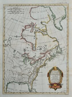
North America
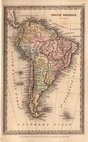
South America
( Page 1 of 4 )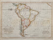
Thomas Bowen 1788
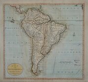
William Guthrie 1792
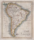
Lawson 1808
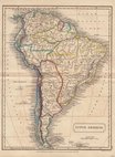
Sidney Hall 1826
Saint Elias and Monserrate 1827
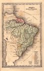
Brazil by Starling 1831
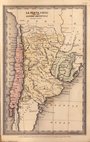
Chile & Argentina by Starling 1831
Thomas Starling 1831


12x20 cm
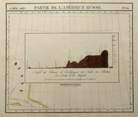
Sketch Map | of the | RIVER TAKUTU | By | Robt. H. Schomburgk. K.R.E. | May 1842.
Lithograph by John Arrowsmith published in the Journal of the Royal Geographical Society by John Murray.
A trubtary of the Branco river, the Takutu forms part of the boundary between Guyana and Brazil.
Quick Links
Australasia & Pacific
Africa
×