
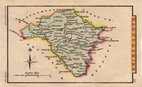
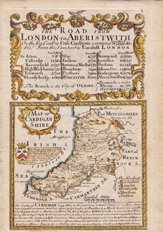
Cardiganshire
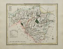
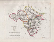
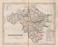
Radnorshire
( Page 1 of 1 )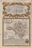
Emanuel Bowen 1720
J R Thompson 1810
Sidney Hall 1820
J R Thompson 1838
J R Thompson 1843
Roger Creighton 1844
Joshua Archer 1846
Weller, F. S. 1891


22x18 cm
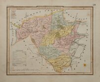
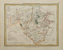
SOUTH WALES | 58
RADNORSHIRE
This series of maps were intended to accompany The Beauties of England and Wales. The maps were not actually published with this work but first issued in parts as a separate series between 1804 and 1810, first appearing in atlas form in The British Atlas... published by Vernor Hood & Sharpe et al. in 1810. The intaglio printed maps were re-issued, in English Topography... by Baldwin Cradock & Joy in 1816, and James Goodwin and Thomas McLean in 1827, and in Curiosities of Great Britain... by Talllis & Co, L. Tallis, and John Tallis from 1835 to 1843, with further issues by lithographic transfer by H G Collins in 1852, 1854 and by Darton & Co in 1858.
This hand coloured example, is from an edition of Dugdale's Curiosities of Great Britain published by Tallis & Co., L. Tallis or John Tallis between 1838 and 1842.
Some light offsetting.
Quick Links
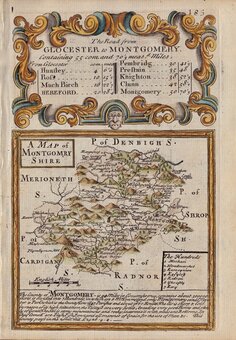
Montgomeryshire
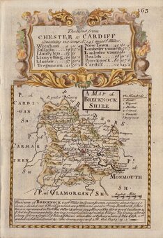
Brecknockshire
×