

Whole of Britain & British Isles
Postcard Maps
( Page 1 of 11 )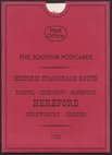
Five Road Maps Owen & Bowen
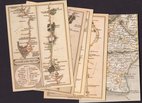
Five Postcards Cary Roads
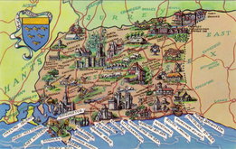
West Sussex 1960
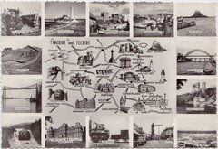
Tyneside Teeside 1960
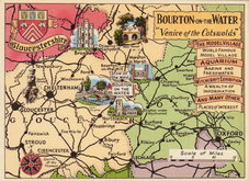
Bourton on the Water Postcard 1965
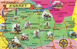
Surrey Postcard 1965
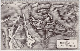
The Trossachs 1965
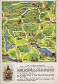
Central Highlands Postcard 1970


Request
Condition Report
4 Postcards with reproductions of 4 maps from John Cary's High Roads from London showing start of London to Rochester and London to East Grinstead. 1 card with reproduction of part of John Cary's New Map of England and Wales showing Rye, Ashford and Romney in Sussex and Kent.
Published by the National Postal Museum in 1991.
Each card 10cm x 15cm.
×