
Scotland Maps
England & Wales
( Page 1 of 5 )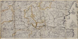
Christopher Saxton / Philip Lea 1583 [1680]
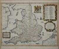
John Ogilby 1676
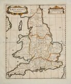
Saxon Heptarchy Robert Morden 1695
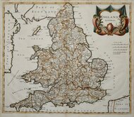
Robert Morden 1695
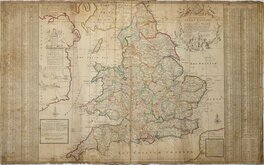
Herman Moll 1725
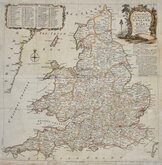
Thomas Kitchin 1763
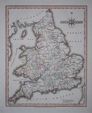
John Cary 1809
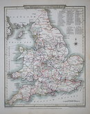
John Roper 1809
Request
Condition Report
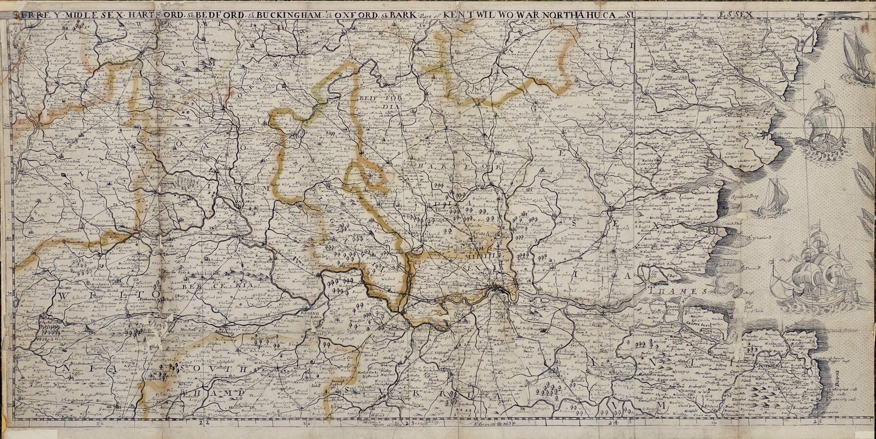
SURREY · MIDLESEX · HARTFORD.Sh. BUCKINGHAM.Sh OXFORD.Sh. BARK: Part of KENT. WILL: WO: WAR: NORTHA: HU: CA and SU ESSEX
(Part of) The Travellers Guide being the best Mapp of the Kingdom of England and Principality of Wales...to which is added ye Direct and cross Roads according to Mr Ogilby's late Survey. Described by Christopher Saxton and now carefully Corrected with New Additions by Philip Lea.
Christopher Saxton published his famous wall map of England & Wales comprising 20 sheets in 1583. Philip Lea acquired the copper plates in 1685 and reduced the map, removing most of the sea areas, to 10 full sheets and two half sheets and published them from 1680 in the work titled above bound in book form for the traveller.
This section comprises one full sheet and one half sheet pasted together to show the lower central belt of England from the coasts of Kent and Essex, through London and the home counties to Cheltenham and Gloucester.
Laid on card with some damage and loss to several small areas at old folds and edges with some manuscript additions. The original hand colour to county boundaries is somewhat faded. Nevertheless, it remains an attractive and detailed map and all forms of this Saxton wall map are very rare.
Ref. Shirley. Early Printed Maps of the British Isles 1477-1650 No. 137.
Quick Links
Wales Maps
Whole of Britain & British Isles
×