

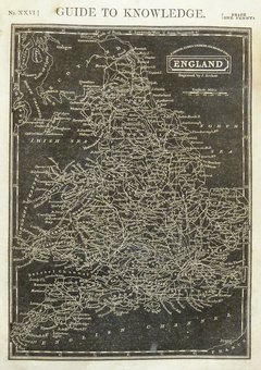
Whole of Britain & British Isles
Postcard Maps
( Page 1 of 12 )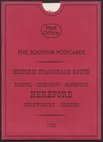
Five Road Maps Owen & Bowen
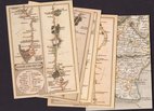
Five Postcards Cary Roads
West Sussex 1960
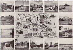
Tyneside Teeside 1960
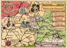
Bourton on the Water Postcard 1965
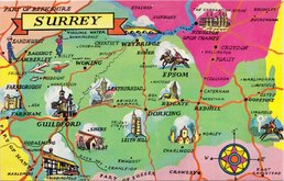
Surrey Postcard 1965
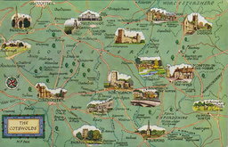
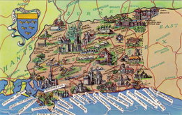
The Cotswolds 1965
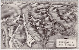
The Trossachs 1965

Request
Condition Report
BRITISH MUSEUM
Set 7
EARLY MAPS IN THE BRITISH MUSEUM
15 Pictorial Postcards.
Published by the British Museum Printed at the Oxfrod University Press.
!5 Postcard maps and 4 page leaflet in printed envelope.
1. World. Ptolemy c.1470
2. Great Britain. Ptolemy c.1400
3. Ireland. Ptolemy c.1400
4. World. St. Beatus drawn in 776 A.D.
5. World. Anon. Drawn c.1000 A.D.
6. World. Anon. Drawn c.1200 A.D.
7. Great Britain. Matthew Paris. c.1250
8. British Isles. Drawn before 140 A.D. Francesco Berlinghieri. 1478.
9. World. Henricus Martellus Germanus. 1482.
10. World. Johannes Ruysch. 1508.
11. North Atlantic. Italian Portolan. 1508.
12. World. John Rotz. 1542.
13. British Isles. George Lily. 1546.
14. World. Jodocus Hondius. 1595.
15. Guyana. (by or for) Sir Walter Raleigh. c.1595.
Verso of each card, enevelope, and leaflet with oval stamp C.C.T.C. numbered and initialed in ink. Envelope a little worn and marked and with owner's name but cards are clean and in good condition.
×