
Warwickshire Maps
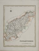
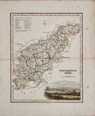
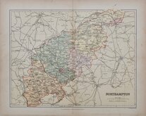
Northamptonshire Maps
( Page 3 of 3 )
Request
Condition Report
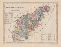
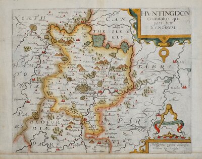
LARGE, CLEAR, UNCLUTTERED MAP.
A MAP OF NORTHAMPTONSHIRE ENGRAVED FROM AN ACTUAL SURVEY with Improvements.
Haywood Del. | Sudlow Sc.
London, Engraved for J. Harrison No.115, Newgate Street, as the Act directs, May 3d. 1788.
This series of county maps were issued at erratic intervals over a four year period bearing dates between 1787 and 1789. The atlas Maps Of The English Counties… was first issued in 1791 by J. Harrison and remained on sale for several years but appears to have not sold well as various reductions in price are recorded.
The border is divided and numbered at 5' intervals with a graticule over the map.
The Northamptonshire map was unchanged in all issues.
Good hand colour. Horizontal folds as issued. Small bottom margin.
Ref. Whitaker Printed Maps of Northamptonshire 270.
Quick Links

Huntingdonshire Maps

Leicestershire Maps
×