
Warwickshire Maps
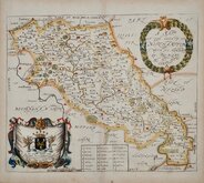
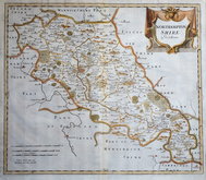
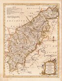
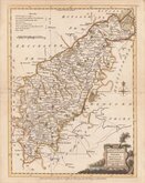
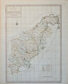
Northamptonshire Maps
( Page 1 of 3 )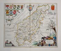
Jan Blaeu 1645 [1648]
Richard Blome 1673
Robert Morden 1695
Emanuel Bowen 1720
Thomas Read 1744 [1769]
Thomas Kitchin 1763
Joseph Ellis 1765 [1773]
John Haywood 1788


24x19 cm
FINAL EDITION. ORIGINAL WASH COLOUR
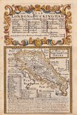
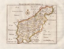
Drawn & Engraved by J. Archer, Pentonville, London.
Drawn and engraved by Joshua Archer for publication in Curiosities of Great Britain. England and Wales delineated...by Thomas Dugdale, antiquarian. (London L. Tallis 1842).
This example, with the addition of the railways, is from the final 50 parts issue of Dugdale's England and Wales Delineated from 1854 to 1860 Northamptonshire appearing in part 40, January 15th 1858
Good example in original wash hand colour.
Ref. Whitaker Printed Maps of Northamptonshire. 555.
Quick Links


Leicestershire Maps
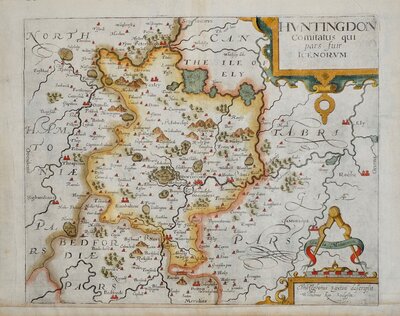
Huntingdonshire Maps
×