
World Maps and Charts
North America
( Page 1 of 8 )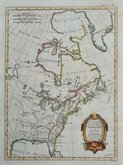
East America Rigobert Bonne 1798
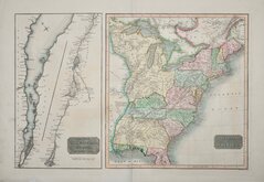
United States and St Lawrence River 1817
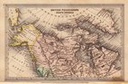
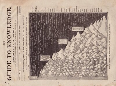
Saint Elias and Monserrate 1827
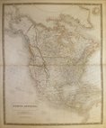
Canada 1831
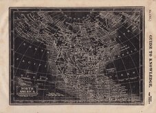
North America by Pinnock 1834
Johnston 1843
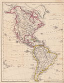
North America 1850
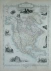
America by Becker 1850

Request
Condition Report
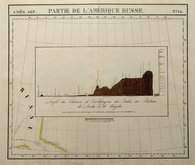
PARTIE DE L'AMERIQUE RUSSE.
Inset: Profil du Chemin de Carthagene des Indes au Plateau de Sante Fe de Bogota.
Large lithograph published by Philippe Vandermaelen (1796-1869) in Atlas Universel 1827. This was the first world atlas drawn at a universal scale and the first printed by the process of lithography.
Showing the area around Mount Saint Elias on the Yukon and Alaska border at a scale of approximately 1 inch to 26 miles.
The inset shows a profile of the Mountains of Monserrate at Sante Fe in Columbia drawn by Alexander von Humboldt (1769-1859).
Quick Links

South America
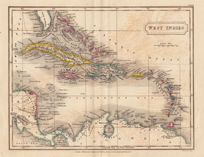
Central America & West Indies
×