
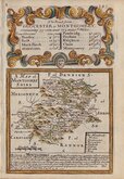
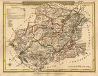
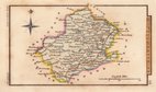
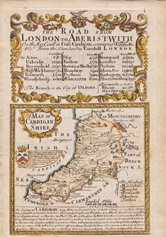
Cardiganshire
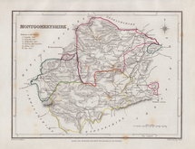
Montgomeryshire
( Page 1 of 1 )

25x20 cm
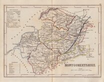
MONTGOMERYSHIRE | Drawn by R. Creighton. | Engraved by J.& C.Walker | DRAWN AND ENGRAVED FOR LEWIS' TOPOGRAPHICAL DICTIONARY.
Copper engraving by the firm of J & C Walker from a drawing by Roger Creighton for publication in A Topographical dictionary of England… published by Samuel Lewis and Co. from 1831. The work achieved considerable success and was re-issued many times by Lewis until 1849. During this time the maps were amended and updated to include electoral information and the rapidly expanding railway network.
Some spotting but a good example from the 1844 edition with the addition of the Poor Law Unions highlighted in original hand colour.
Quick Links
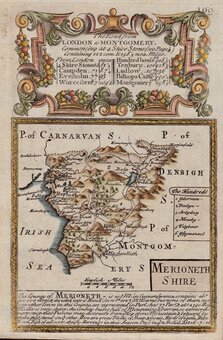
Merionethshire
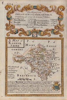
Radnorshire
×