
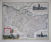
Essex Maps
Kent Maps
( Page 1 of 3 )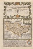
Emanuel Bowen 1720
Emanuel Bowen 1763 [c.1777]
Joseph Ellis 1773
Eugene Henry Fricx 1777

John Cary 1789 [1791]
Benjamin Baker 1792
Charles Smith 1801 [1804]
Robert Butters 1803

£70
J Addison Christopher Greenwood Ref: 6143wb
Add to
basket
Thanks,Your Product Has Been Added To Basket

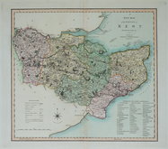
44x30 cm
UNCOMMON DETAILED MAP
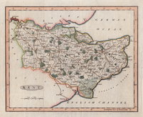
A SELECT MAP OF KENT FOR THE EPITOME OF COUNTY HISTORY BY C. GREENWOOD 1839.
Drawn & Engraved by J. ADDISON.
London, Published by C.GREENWOOD, 5 Hart Street, Bloomsbury Square.
Some occasional light spotting. Two short tears reaching into bottom border repaired with archival tape verso. Smallish top margin. Still a good hand coloured example of an uncommon, detailed and attractive map.
Quick Links


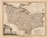
Surrey Maps

Sussex Maps
×