
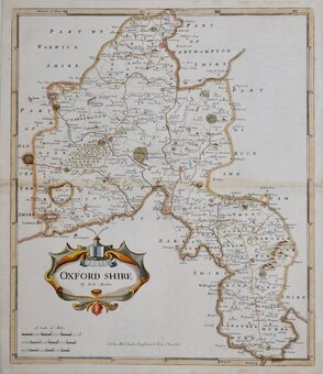
Oxfordshire Maps
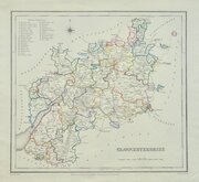
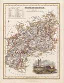
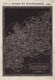
Gloucestershire Maps
( Page 2 of 3 )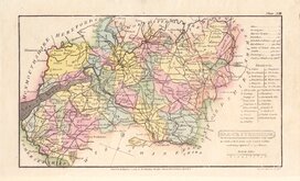
Henry Cooper 1808
John Cary 1809
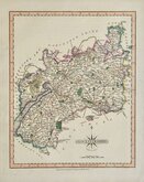
George Cole 1810
Sidney Hall 1820
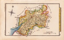
John Cary 1822
Roger Creighton 1831 [1844]
Gray & Son 1833
Joshua Archer 1833


18x11 cm
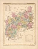
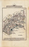
MINIATURE MAP IN ORIGINAL WASH COLOUR TO THE HUNDREDS.
GLOUCESTERSHIRE
Cooper del.t et sculp.t
Published Jany.1st.1808, by R Phillips, Bridge Street Blackfriars, London.
Copper engraving by Henry Cooper (fl.1804-1819) published by Richard Phillips in Benjamin Capper's Topographical Dictionary in 1808 with later publications of the same work by various publishers until 1839.
Good example in original hand colour from the first edition published by Richard Philips.
SPECIAL OFFER MOUNT OPTION AVAILABLE AT CHECKOUT FOR UK POSTAGE
Quick Links

Somerset Maps

Wiltshire Maps
×