
Eastern Europe & Turkey
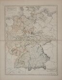
Germany
( Page 4 of 7 )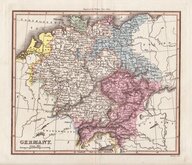
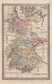
Thompson 1820
Sidney Hall 1826
Thomas Starling 1831
Malte Brun 1837
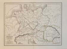
Allemagne Malte-Brun 1839
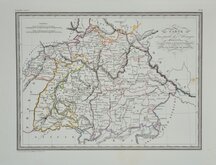
Bavaria Malte-Brun 1839
Ancient Germany Delamarche 1839
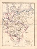
Selina Hall 1840


35x25 cm
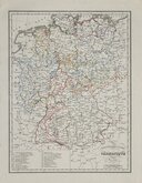
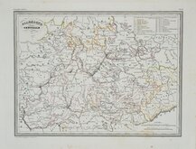
SAXONY
Drawn by W.D.C.
BLACKIE & SON, GLASGOW
Published in The Imperial Atlas of Modern Geography Blackie & Son, London 1860.
The map was printed on the page adjacent to a map of Austria and has been crudely cut from the Austria map an re-margined to bottom edge. The map is clean and in original hand colour.
Quick Links


Whole of Europe
Belgium & Luxembourg
×