

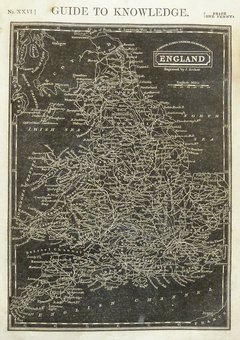
Whole of Britain & British Isles
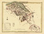
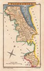
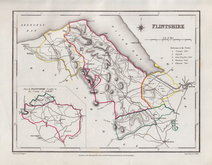
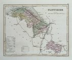
Flintshire
( Page 1 of 1 )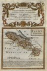
Emanuel Bowen 1720
Cole & Roper 1810
Sidney Hall 1820
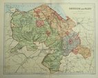
Roger Creighton 1844
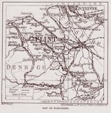
Archer, Joshua 1860
Weller, F. S. 1891
Geographia 1924


28x22 cm
Colour lithograph printed map from an engraving by F. S. Weller published by William Mackenzie in The Comprehensive Gazetteer of England and Wales from c.1891 - 1895.
×