
Historical Maps
Far East & India
( Page 4 of 5 )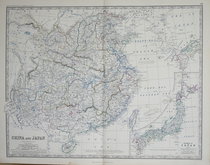
China & Japan - Johnston 1869
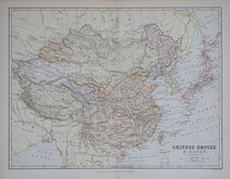
Chinese Empire & Japan - Barholomew 1880
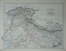
Northern India - Johnston 1884
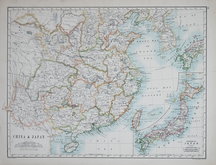
China & Japan - Johnston 1884
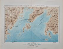
Peter The Great Gulf 1885
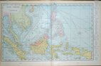
East Indies - Cram 1890
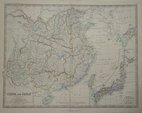
China & Japan - Johnston 1893
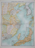
China & Japan - Bartholomew 1898


33x25 cm
Later edition of John Tallis's maps with decorative vignettes removed published by in geographical dictionaries until about 1880.
Fine hand colour.
Quick Links


Eastern Europe & Turkey

Asia
×