
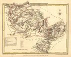
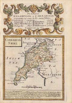
Caernarfonshire
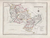
Denbighshire
( Page 1 of 1 )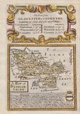
Emanuel Bowen 1720
Cole & Roper 1810
Sidney Hall 1820
Roger Creighton 1844
Joshua Archer 1860
Weller, F. S. 1891


£50
Emanuel Bowen Thomas Bowles Ref: 5181
Add to
basket
Thanks,Your Product Has Been Added To Basket

12x18 cm
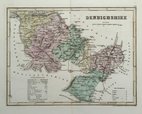
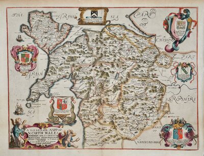
A MAP of | DENBIGH- | SHIRE
Map set below the title to the road from Gloucester to Coventry published in the pocket road book Britannia Depicta by Thomas Bowles from 1720 to 1764.
For details of the publication see our category heading for Owen & Bowen under Road Maps.
Road from Liskeard to Truro verso.
Very good example in neat hand colour.
Quick Links
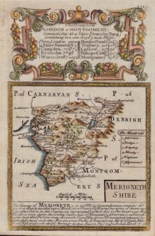
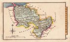
Merionethshire
North Wales
×