
Cambridgeshire Prints
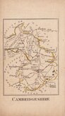
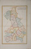
Cambridgeshire Maps
( Page 2 of 4 )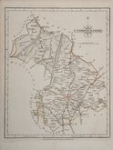
John Cary 1787 [1793]
John Cary 1787 [1793]
John Cary 1787 [1809]
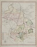
John Cary 1789 [1805]
Benjamin Baker 1791
Robert Butters 1803
Charles Mason 1808
Henry Cooper 1808


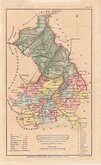
18x24 cm
ORIGINAL OUTLINE COLOUR.
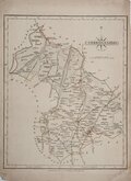
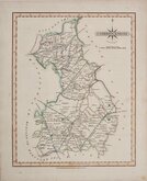
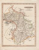
CAMBRIDGESHIRE
Drawn & Engraved by J.Archer, Pentonville, London.
First published in Curiosities of Great Britain, England and Wales Delineated…by Thomas Dugdale by L.Tallis in 1842. The work was re-issued a number of times until 1860. The maps also appeared in The Universal English Dictionary…by the Rev. James Barclay and finally in Tallis's topographical dictionary of England & Wales in 1860.
From the 1848 edition of Dugdale's Curiosities with the addition of several railways. Original outline hand colour.
Quick Links

Town Plans

Road Maps
×