
Bedfordshire Maps
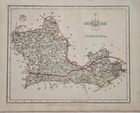
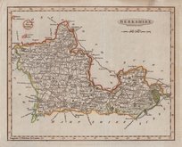
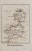
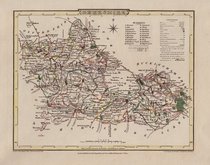
Berkshire Maps
( Page 2 of 4 )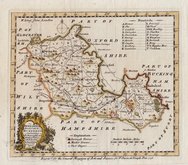
Emanuel Bowen 1758
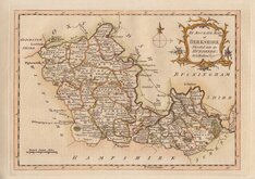
George Rollos 1762 [1769]
Joseph Ellis 1765 [1773]
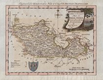
Thomas Bowen 1784
John Cary 1787 [1793]
Benjamin Baker 1791
Robert Butters 1803
George Cole 1804


24x18 cm
ORIGINAL WASH COLOUR
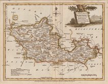
BERKSHIRE.
Drawn & Engraved by J.Archer, Pentonville, London.
First published in Curiosities of Great Britain, England and Wales Delineated…by Thomas Dugdale by L.Tallis in 1842. The work was re-issued a number of times until 1860. The maps also appeared in The Universal English Dictionary…by the Rev. James Barclay and finally in Tallis's topographical dictionary of England & Wales in 1860.
This example is from the 1845 edition of Dugdales Curiosities in original wash hand colour.
Quick Links


Road Maps
Berkshire Prints
×