
Holland
Belgium & Luxembourg
( Page 1 of 3 )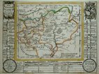
Belgium Bodenehr 1704
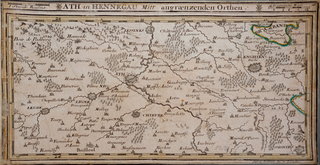
Ath Belgium by Bodenehr 1716
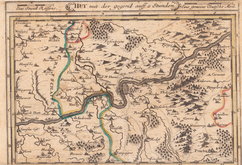
Huy Belgium by Bodenehr 1716
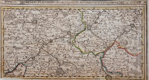
Menin Belgium by Bodenehr 1716
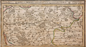
Mons Belgium by Bodenehr 1716

Namur Belgium by Bodenehr 1716
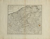
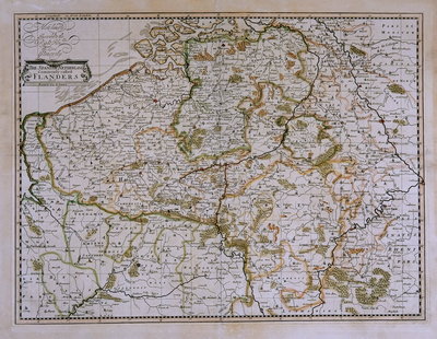
Flanders Isaak Tirion 1740
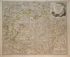
Luxembourg. De Vaugondy 1753

£10
John Bartholomew T Nelson Ref: 5117.33
Add to
basket
Thanks,Your Product Has Been Added To Basket
Request
Condition Report
NETHERLANDS AND BELGIUM
Colour printed lithograph by John Bartholomew produced for The Edinburgh Geographical Institute and published in Bartholomew's English Imperial Atlas and Gazetteer of the World by T. Nelson & Sons.
Inset maps of the environs of Brussels and Antwerp.
Part France verso.
Quick Links

Whole of Europe
Germany
×