
Whole of Britain & British Isles
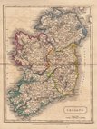
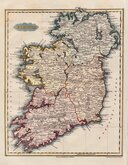
Whole of Ireland
( Page 1 of 3 )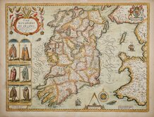
John Speed 1676
Robert Morden 1695

Pieter van der Aa 1729
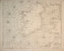
Mount & Page 1756
Thomson 1820
James Wyld 1824
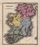
Sidney Hall 1826
Conrad Malte-Brun 1828


45x58 cm
LARGE DETAILED LITHOGRAPH IN ORIGINAL HAND COLOUR.
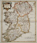
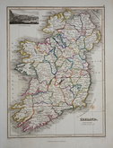
IRELAND
BY KEITH JOHNSTON. F.R.S.E.
Engraved & Printed | by W & A.K.Johnston Edinburgh.
Large, highly detailed lithographic printed map published in The Royal Atlas Of Modern Geography Exhibiting, in a series of entirely original and authentic maps, the present condition of geographical discovery and research in the several countries, empires, and states of the World by Alexander Keith Johnston geographer to the Queen for Scotland...William Blackwood & Sons Edinburgh and London MDCCCLXIX.
Overprinted in blue indicating rivers and sea. Fine original hand coloured in line and wash indicating political boundaries.
Good clean example.
Quick Links

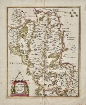
Parts of Ireland & Counties

Scotland Maps
×