
Whole of Britain & British Isles
Whole of Ireland
( Page 1 of 3 )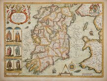
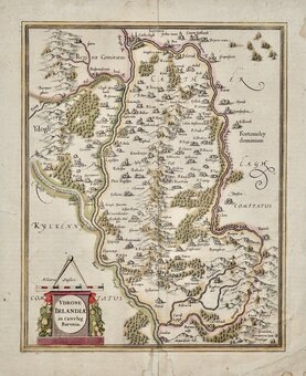
John Speed 1676
Robert Morden 1695

Pieter van der Aa 1729
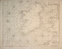
Mount & Page 1756
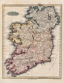
Thomson 1820
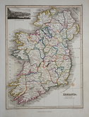
James Wyld 1824
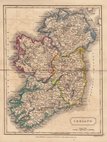
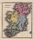
Sidney Hall 1826
Conrad Malte-Brun 1828


22x31 cm
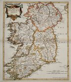
VIGNETTE OF THE GIANTS CAUSEWAY
IRELAND.
J.Wyld del. | Hewitt Sc. Buckingham Place Fitzroy Sq.r
Published by John Thomson & C.o Edinburgh.
Copper engraving by Nathaniel Rogers Hewitt (1783-c.1841), map drawn by James Wyld (the elder, 1790-1836) for A General Atlas, Containing Maps illustrating some important periods in Ancient History and distinct Maps of the several Empires, Kingdoms and States of the World...John Thomson & Co., Edinburgh 1824.
Vignette: View of the Giants Causeway. Original hand colour. Single foxing spot in St Georges Channel and four manuscript horizontal ruled lines to map but otherwise a clean and decorative map.
Quick Links

Parts of Ireland & Counties

Scotland Maps
×