
Whole of Britain & British Isles
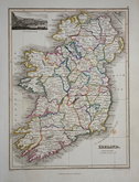
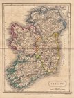
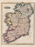
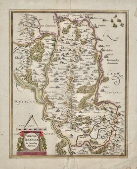
Whole of Ireland
( Page 1 of 3 )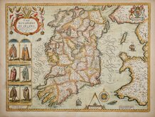
John Speed 1676
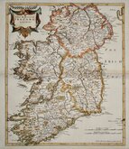
Robert Morden 1695

Pieter van der Aa 1729
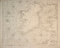
Mount & Page 1756
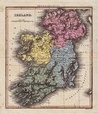
Thomson 1820
James Wyld 1824
Sidney Hall 1826
Conrad Malte-Brun 1828


55x84 cm
PAIR OF COLOUR LITHOGRAPH PRINTED MAPS
IRELAND - NORTHERN SECTION
IRELAND - SOUTHERN SECTION
Pair of large double page colour printed lithograph by John Bartholomew & Son Ltd. published in The Times Atlas and Gazetteer of the World by the Edinburgh Geographical Institute 1922.
Northern section has inset map of the environs of Belfast.
Southern section has inset maps of the environs of Killarny, Cork and Dublin.
Each map measures 55x42cm
Price is for the pair of maps.
Quick Links

Parts of Ireland & Counties

Scotland Maps
×