
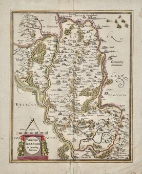
Parts of Ireland & Counties
Whole of Ireland
( Page 2 of 3 )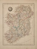
Aaron Arrowsmith 1828
William Pinnock 1834
John Dower 1836
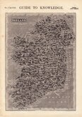
John Tallis 1851
August Petermann 1854
August Petermann 1860
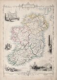
George Swanston 1864
Keith Johnston 1869


33x43 cm
COLOUR PRINTED MAPS OF IRELAND AND SCOTLAND
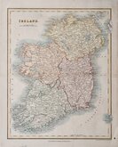
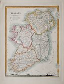
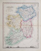
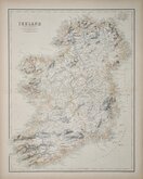
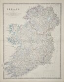
IRELAND
Colour printed lithographS published in The Cosmographic Atlas by W & A K Johnston Edinburgh 1884.
Map OF SCOTLAND south verso.
Supplied with separate sheet of Scotand north (England and Wales south verso.)
Archival tape repairs to several edge tears some reaching printed area.
Quick Links

Whole of Britain & British Isles

Scotland Maps
×