
Environs of London
Ward Plans and Parts of London
( Page 4 of 8 )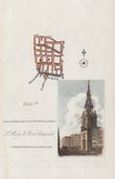
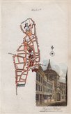
Cheapside 1817
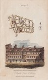
Barbican 1817
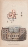
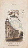
St. Paul's 1817
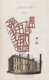
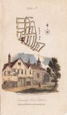
Charterhouse Smithfield 1817
Charterhouse Smithfield 1817
Temple 1817
Hatton Garden 1817
Chancery 1817


9x15 cm
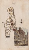
Walk 5.th
Drawn and Engraved by J.Greig, for the Walks through London.
S.t Mary le Bow, Cheapside.
Published by W.Clarke New Bond Street. Dec1.1816
Plan of the area from Cheapside to the Thames and Bread Street to Walbrook with vignette of St Mary le Bow.
Published in Walks Through London including Westminster and the Borough of Southwark…forming a complete guide to the Metropolis…by David Hughson, L.L.D.. London, Sherwood Neely & Jones. 1817.
Hand coloured.
Quick Links


Central London

Middlesex Maps
×