
Six inch and 1:10000
Twenty five inch and 1:2500
( Page 1 of 17 )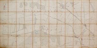
Enfield Chase 1885
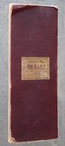
Burley Yorkshire 1:2500 1893
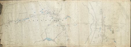
Bayfordbury Herts 1898
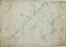
Gilston Herts 1898
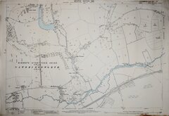
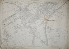
Totteridge Whetstone Herts 1898
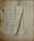
Wyddial & Layston Land Exchange 1902
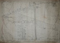
Pontefract Yorks 1907
Monken Hadley Herts 1914


49x57 cm
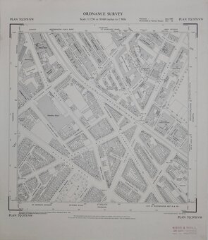
ORDNANCE SURVEY
NATIONAL GRID PLANS Scale 1:2500 PLAN TL 3609
Made and Published by the Director General of the Ordnance Survey, Southampton.
1974.
Covering Hertford Road, Brable Lane, Roselands Avenue and Wintercroft Road.
Hanging strip verso at right edge. "Record map" stamp upper right corner. Good condition.
Quick Links


Other Large Scales
Fifty inch and 1:1250
×