
Six inch and 1:10000
Twenty five inch and 1:2500
( Page 1 of 17 )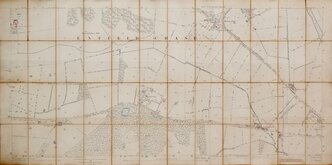
Enfield Chase 1885
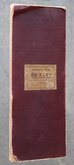
Burley Yorkshire 1:2500 1893
Bayfordbury Herts 1898
Gilston Herts 1898
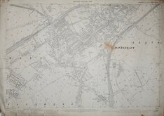
Totteridge Whetstone Herts 1898
Wyddial & Layston Land Exchange 1902
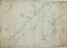
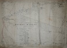
Pontefract Yorks 1907
Monken Hadley Herts 1914

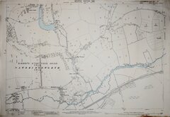
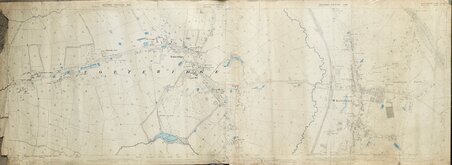
£12 Bourne End Hemel Hempstead Herts
Ref: tl0005
Add to
basket
Thanks,Your Product Has Been Added To Basket

88x58 cm
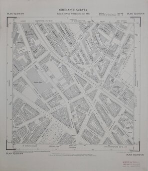
ORDNANCE SURVEY
NATIONAL GRID PLANS Scale 1:2500
PLAN TL0005-0105
Made and published by the Director General of the Ordnance Survey, Southampton.
Reconstituted from former County Series plans and revised Jun 1974
Showing Upper Bourne End Lane, Vale Farm, Lower Farm,. Prior to construction of A41 dual-carriageway.
Unfolded, very good condition.
Quick Links

Fifty inch and 1:1250

Other Large Scales
×