
Other Large Scales
Twenty five inch and 1:2500
( Page 14 of 17 )
Bovingdon Herts 1973
Hemel Hempstead Herts 1973
Bovingdon Herts 1973
Flaunden Bovingdon Herts 1973
Nazeing Essex 1973
Watford Abbots Langley Herts 1973
Hemel Hempstead Herts 1973
Great Amwell Herts 1973


49x57 cm
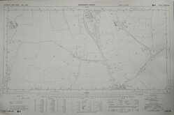
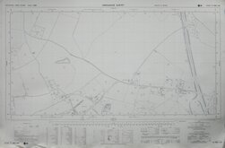
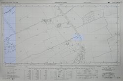
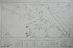
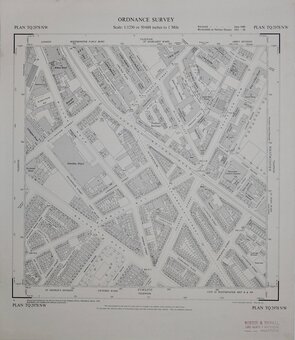
ORDNANCE SURVEY
NATIONAL GRID PLANS Scale 1:2500 PLAN SP 9700
Made and Published by the Director General of the Ordnance Survey, Southampton.
1973.
Covering Latimer Road and River Chess, Bottom Lane, Hill Farm.
Hanging strip verso at right edge. "Record map" stamp upper right corner. Good condition.
Quick Links

Fifty inch and 1:1250

Six inch and 1:10000
×