
Scotland Maps
Regions and Counties
( Page 1 of 5 )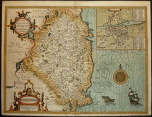
Leinster 1616
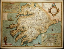
Munster 1616
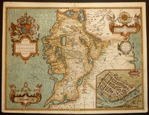
Connaght 1616
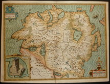
Ulster 1616
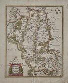
Carlow Mercator 1638
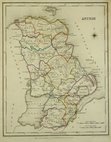
Antrim 1846
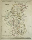
Armagh 1846
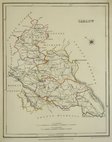
Carlow 1846


18x26 cm
County map drawn by R. Creighton and engraved by J. Dower for publication in Lewis's Atlas of the Counties of Ireland published in 1846 to accompany his Topographical Dictionary.
Original hand outline colour.
Quick Links


Wales Maps
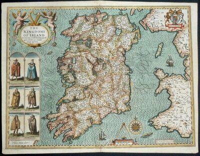
Whole of Ireland
×