

British Isles
Postcard Maps
( Page 4 of 11 )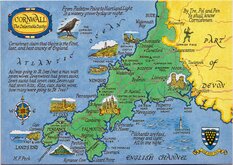
Cornwall Postcard 1980

Dartmoor Postcard 1980
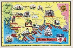
South Devon Postcard 1980
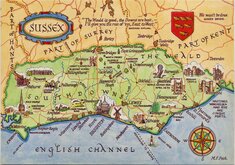
Sussex M F Peck 1980
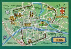
York Town Plan 1980
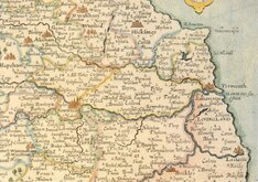
William Kip Norfolk 1990
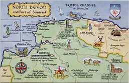
North Devon Map Postcard 1970
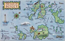
Scilly Isles Map Post Card 1970


14x9 cm
MAP OF THE NORFOLK BROADS
Printed and Published by J. Salmon Ltd., Sevenoaks, England
1_30_00_05 4556
Drawn by M F Peck
Unused. Fine condition, VERY slight wear at corners.

×