
Whole of Europe
Parts Regions & Departments of France
( Page 1 of 19 )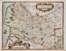
Artois by Ortelius 1587
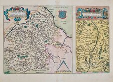
Loire by Ortelius 1587
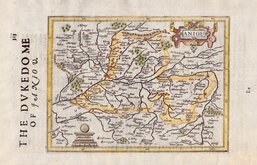
Anjou by Hondius 1637
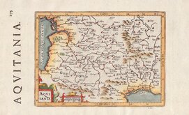
Aquitaine by Hondius 1637
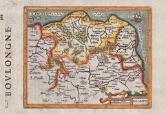
Boulogne by Hondius 1637
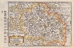
Bourbonnais by Hondius 1637
Champagne by Hondius 1637
L'Isle de France by Hondius 1637


47x35 cm
CARTE POUR L'INTELLIGENCE DE L'HISTOIRE DE LORRAINE, OU ON FAIT OBSERVER LA GENEALOGIE DE SES DUCS ET L'ORDRE DU GOUVER.ment PRESENT
Avec Privilege de Nosseigneurs les Etats de Hollande et de Westfrize
Highly decorative Map & Historical Chart of the Lorraine and Barrois regions in North East France, now part of Grand Est region.
Map (20cm x 15cm) surrounded by 33 vignettes of various Dukes and Royalty. Published in Atlas Historique, Ou Nouvelle Introduction A l'Histoire, aI la Geographie Ancienne & Moderne...avec des Dissertations...Par Mr. Guedeville...Amsterdam, Henri Chatelaine.
Henri Abraham Chatelain (1684-1743) was a Dutch Cartographer who lived in Paris, London, The Hague and Amsterdam and is best known for this publication, a huge seven volume work first published in 1705, mainly geographical but including historical, genealogical and historical information. The maps were mainly based on the work of French geographer Guillaume de L'Isle (1765-1726).
Very good condition and fine hand colour.
Quick Links


Mediterranean
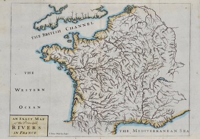
Whole of France
×