
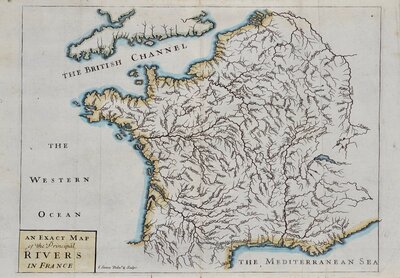
Whole of France
Parts Regions & Departments of France
( Page 1 of 19 )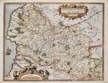
Artois by Ortelius 1587
Loire by Ortelius 1587
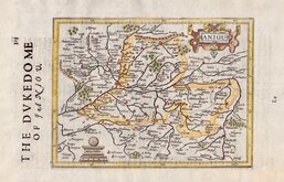
Anjou by Hondius 1637
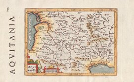
Aquitaine by Hondius 1637
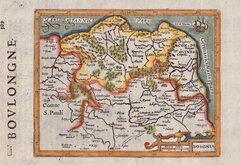
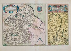
Boulogne by Hondius 1637
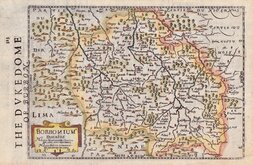
Bourbonnais by Hondius 1637
Champagne by Hondius 1637
L'Isle de France by Hondius 1637


51x60 cm
COMITATUS BURGINDIÆ, Vulgo LA FRANCHE COMTÉ: Complecteins PRÆFECTURAS AMONTII, DOLAE, AVALLI, Quibus Adjectus COMITATUS MONTIS BELLIGARDI. Per Cornelium Danckerts.
The Danckerts family were prominent engravers, print and map sellers in Amsterdam producing atlases from 1686 through the 18th century. Their maps and atlases were not dated making precise identification and dating of maps difficult. This map of the French region of Burgundy is signed by Cornelis Danckert (1664-1717).
Smallish but complete margins, two small wormholes. Good example in original hand colour.
Quick Links

Whole of Europe

Mediterranean
×