
Scotland Maps
Northumberland Maps
( Page 1 of 4 )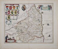
Jan Blaeu 1645
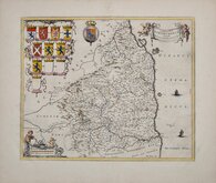
Jan Blaeu 1645 [1664]
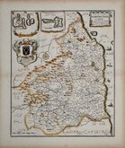
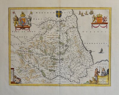
Richard Blome 1673
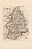
Robert Morden 1695 [1753]
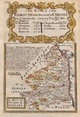
Emanuel Bowen 1720
Thomas Read 1743 [1753]
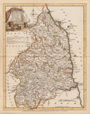
Joseph Ellis 1765 [1773]
John Cary 1787 [1793]


24x31 cm
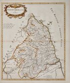
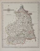
ORIGINAL COLOUR DEPICTING POOR LAW UNIONS
NORTHUMBERLAND
Drawn by R. Creighton. | Engraved by J.& C.Walker
DRAWN AND ENGRAVED FOR LEWIS' TOPOGRAPHICAL DICTIONARY.
Copper engraving by the firm of J & C Walker from a drawing by Roger Creighton for publication in A Topographical dictionary of England… published by Samuel Lewis and Co. from 1831. The work achieved considerable success and was re-issued many times by Lewis until 1849. During this time the maps were amended and updated to include electoral information and the rapidly expanding railway network.
This example is from the 1842 edition with the addition of the Poor Law Unions highlighted in original hand colour. Some occasional light spotting. Light crease top left corner.
Ref. Whitaker Maps of Northumberland 493
Quick Links

Durham Maps

Cumberland Maps
×