
Durham Maps
Northumberland Maps
( Page 3 of 4 )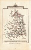
John Cary 1822
Roger Creighton 1831 [1842]
Joshua Archer 1833
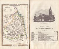
Robert Gray 1833
Robert Gray 1833 [1840]
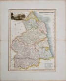
Thomas Moule 1837 [1844]
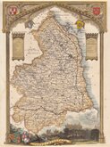
James Pigot 1839
Joshua Archer 1842 [1848]


15x20 cm
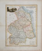
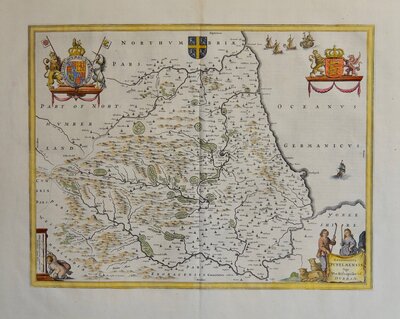
ROCQUE EDITION
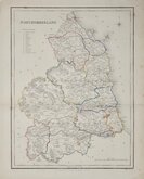
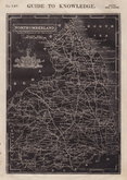
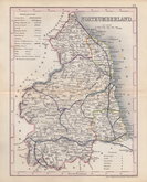
NORTHUMBERLAND
Closely based on Herman Moll's maps of 1724, Thomas Read, the printer, published the maps in parts issued at weekly intervals from 26 November 1743 to 1 September 1744. The speed of production would have necessitated the employment of several engravers but none have been identified. Northumberland appeared in the issue for 2nd June 1743. The three volume topographical work containing all the maps, The English Traveller…, was first issued in 1746.
On the death or retirement of Thomas Read, the maps passed into the hands of Huguenot John Rocque who published them with a further 19 maps (probably also prepared by Read) and with revisions to most of the maps in a number of issues of The Small British Atlas… from 1753 to 1764 and in England Displayed… from 1769 to 1770.
This very good example of Northumberland is from a 1753 edition of The Small British Atlas.
Ref. Whitaker Maps of Northumberland 218
Quick Links

Scotland Maps

Cumberland Maps
×