
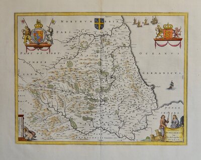
Cumberland Maps
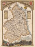
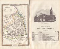
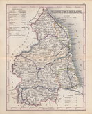
Northumberland Maps
( Page 3 of 4 )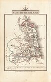
John Cary 1822
Roger Creighton 1831 [1842]
Joshua Archer 1833
Robert Gray 1833
Robert Gray 1833 [1840]
Thomas Moule 1837 [1844]
James Pigot 1839
Joshua Archer 1842 [1848]


8x12 cm
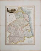
COLOURFUL MINIATURE MAP
NORTHUMBERLAND
Pub. by S. Leigh, 18. Strand. | Sidy. Hall sculp.t
Miniature map engraved by Sidney Hall and first published by Samuel Leigh in Leigh's New Pocket Atlas of England and Wales in 1820. The demand for pocket atlases for the traveller was high during the first half of the 19th century and this little atlas, Samuel Leigh's only cartographic work, was very popular, running to three editions with a further eight editions after his death by his widow Mary Ann and then his son until 1839. The plates were then acquired by George Biggs who published two more editions until 1843.
Sidney Hall (1788?-1831), began work as an engraver about 1809 and was in partnership with Michael Thomson (fl.1809-1815) as "Thomson & Hall" in 1814. Hall was a pioneer of engraving on steel and is almost certainly the first engraver to use steel plates for map engraving, producing steel engraved maps from 1821. He married Selina Price in 1821 but died early in 1831 aged forty-two. Selina carried on his engraving business signing her maps "S. Hall" which has caused some confusion in map bibliographies.
The first state of the plate in neat hand colour.
Ref. Whitaker Maps of Northumberland 367
Quick Links

Durham Maps

Scotland Maps
×