
Scotland Maps
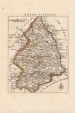
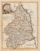
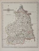
Northumberland Maps
( Page 1 of 4 )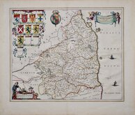
Jan Blaeu 1645
Jan Blaeu 1645 [1664]
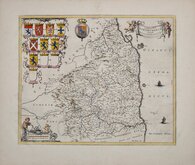
Richard Blome 1673
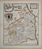
Robert Morden 1695 [1753]
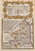
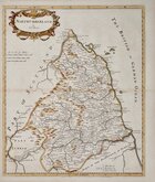
Emanuel Bowen 1720
Thomas Read 1743 [1753]
Joseph Ellis 1765 [1773]
John Cary 1787 [1793]


12x18 cm
FROM THE "OWEN & BOWEN" POCKET ROAD BOOK BRITANNIA DEPICTA
A MAP of NOR^HUM BERLAND
Map set below a decorative cartouche containing the title and details of the road from Tynemouth to Carlisle..
Road map of the second half of the route from Salisbury to Chipping Campden verso.
Engraved text descriptions below the county map and alongside and below the road map.
Engraved by Emanuel Bowen (1693?-1767) and published in the pocket road book Britannia Depicta by Thomas Bowles from 1720 to 1764. The county maps were based on Robert Morden's small series published in The New Description and State of England... from 1701. Text descriptions compiled by John Owen.
Good example.
For full description of the road, go to category: Maps > British Isles > RoadMaps > Owen & Bowen. For more information on Britannia Depicta, see the category heading under Road Maps > Owen & Bowen.
Whitaker, Maps of Northumberland ref. 171.
Quick Links


Cumberland Maps
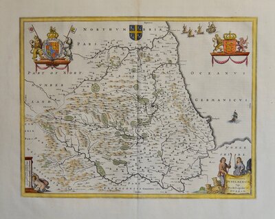
Durham Maps
×