
World Maps and Charts
North America
( Page 1 of 8 )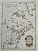
East America Rigobert Bonne 1798
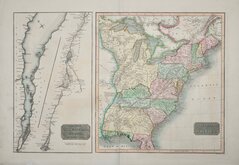
United States and St Lawrence River 1817
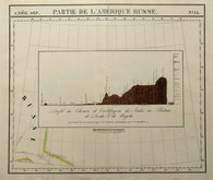
Saint Elias and Monserrate 1827
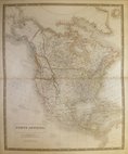
Canada 1831
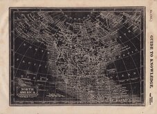
North America by Pinnock 1834
Johnston 1843
North America 1850
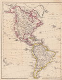
America by Becker 1850

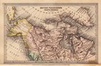
£10 Western Canada by Bartholomew
Ref: 1311.84
Add to
basket
Thanks,Your Product Has Been Added To Basket

55x43 cm
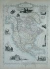
WESTERN CANADA
Large double page colour printed lithograph by John Bartholomew & Son Ltd. published in The Times Atlas and Gazetteer of the World by The Edinburgh Geographical Institute 1922.
Extent: Yukon, Northwest Territories (here named Mackenzie), part of Nunavut Here named Keewatin), part of Alaska, British Columbia, Alberta, Saskatchewan, and Manitoba.
Good clean example with only very slight discolouration at centrefold. (Less pronounced than this image).
Quick Links
Central America & West Indies

South America
×