
World Maps and Charts
North America
( Page 1 of 8 )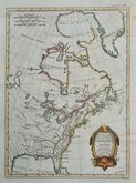
East America Rigobert Bonne 1798
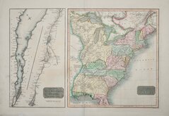
United States and St Lawrence River 1817
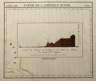
Saint Elias and Monserrate 1827
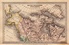
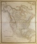
Canada 1831
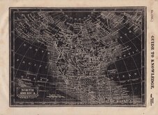
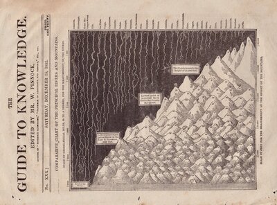
North America by Pinnock 1834
Johnston 1843
North America 1850
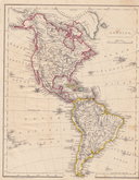
America by Becker 1850


33x26 cm
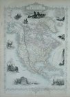
WEST CANADA
The Illustrations by H. Warren & Engraved by Robt. Wallis. | The Map Drawn & Engraved by J.Rapkin.
J. & F. TALLIS. LONDON EDINBURGH & DUBLIN.
Published in The Illustrated Atlas and Modern History of the World...Edited by R. Montgomery Martin Esq. by John Tallis and Company, London and New York from 1851.
Showing the southern part of Ontario and the Great Lakes.
Vignette of Niagara Falls
Original hand colour. Centrefold.
Quick Links

South America
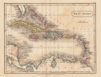
Central America & West Indies
×