
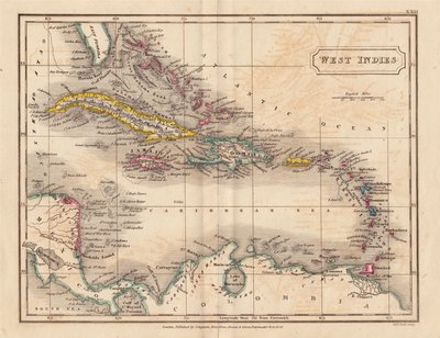
Central America & West Indies
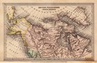
North America
( Page 1 of 8 )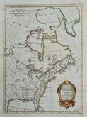
East America Rigobert Bonne 1798
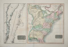
United States and St Lawrence River 1817
Saint Elias and Monserrate 1827
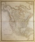
Canada 1831
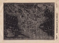
North America by Pinnock 1834
Johnston 1843
North America 1850
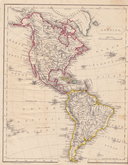
America by Becker 1850

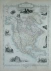
£35 North America by Johnston
Ref: a6021.43
Add to
basket
Thanks,Your Product Has Been Added To Basket

46x60 cm
NORTH AMERICA | (BY KEITH JOHNSTON, F.R.S.E.)
Large lithographic printed map engraved, printed and published by W. & A K Johnston in Keith Johnston's General Atlas. Full title: The Royal Atlas of Modern Geography Exhibiting, in a series of entirely original and authentic maps, The Present Condition Of Geographical Discovery and Research In The Several Countries, Empires and States of the World by Alexander Keith Johnston...
The map is overprinted in blue representing the sea areas with line and wash outline hand colour to political boundaries.
Stain to centrefold.
Quick Links
World Maps and Charts

South America
×