
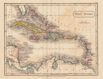
Central America & West Indies
North America
( Page 1 of 8 )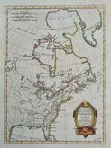
East America Rigobert Bonne 1798
United States and St Lawrence River 1817
Saint Elias and Monserrate 1827
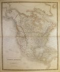
Canada 1831
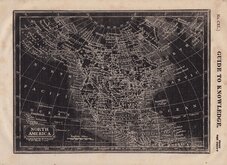
North America by Pinnock 1834
Johnston 1843
North America 1850
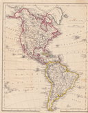
America by Becker 1850


35x27 cm
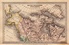
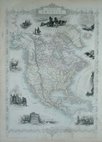
EAST CANADA, AND NEW BRUNSWICK.
The Illustrations by H. Warren. & Engraved by J. B. Allen.. | The Map, Drawn & Engraved by J. Rapkin.
JOHN TALLIS & COMPANY, LONDON & NEW YORK.
Drawn and engraved on steel by J. Rapkin, this series of finely engraved maps were first published in parts from the end of the 1840's and issued as a complete volume, The Illustrated Atlas in 1851. The work was re-issued a number of times until about 1865 and the maps were then used by Montgomery Martin, the author of the text in the Illustrated Atlas, in his British Colonies from 1854. The final appearance of the maps, with vignettes erased from the plate, was in geographical dictionaries and encyclopaedias until about 1880.
This map of New Brunswick is from The Illustrated Atlas of 1851.
Vignettes of Quebec and North American Indians.
A very good example from the first edition, undamaged and un-restored without centrefold in original outline hand colour. With accompanying page of typeset text description.
Quick Links
World Maps and Charts

South America
×