
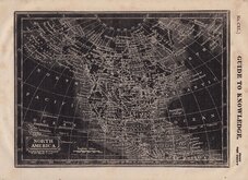
World Maps and Charts
North America
( Page 1 of 8 )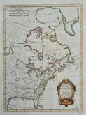
East America Rigobert Bonne 1798
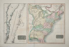
United States and St Lawrence River 1817
Saint Elias and Monserrate 1827
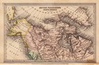
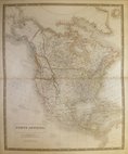
Canada 1831
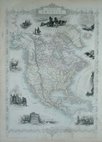
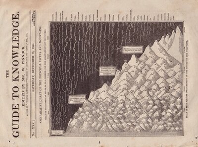
North America by Pinnock 1834
Johnston 1843
North America 1850
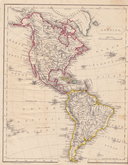
America by Becker 1850


47x32 cm
DOMINION OF | CANADA
Maps verso;
NOVA SCOTIA, NEW BRUNSWICK | & PRINCE EDWARD ISLAND || NEWFOUNDLAND || ST. JOHN N.B.
and;
SKETCH CHART OF THE | NORTH ATLANTIC | ON MERCATORS PROJECTION || DEPTHS || CURRENTS |
Double page colour printed lithograph with colour printed lithograph printed maps verso by John Bartholomew & Co. published in The English Imperial Atlas and Gazetteer of the World By J. G. Bartholomew, F.R.S.E., F.R.G.S. London T. Nelson & Sons, Paternoster Row Edinburgh and New York (1892)
Note: North Atlantic map printed verso is also listed under Atlantic & Poles Category but is not a separate map and price is for all three printed maps.
Quick Links

South America
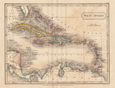
Central America & West Indies
×