
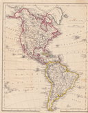
South America
North America
( Page 1 of 8 )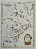
East America Rigobert Bonne 1798
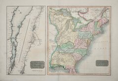
United States and St Lawrence River 1817
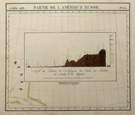
Saint Elias and Monserrate 1827
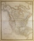
Canada 1831
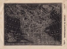
North America by Pinnock 1834
Johnston 1843
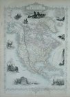
North America 1850
America by Becker 1850


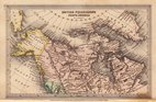
£15 British Columbia etc., by Bartholomew
Ref: 5998.79
Add to
basket
Thanks,Your Product Has Been Added To Basket

24x32 cm
(DOMINION OF CANADA) | WESTERN PROVINCES | BRITISH COLUMBIA | & PART OF NORTH-WEST TERRITORY
Map verso;
(DOMINION OF CANADA) | WESTERN PROVINCES | MANITOBA &c.
Colour printed lithograph by John Bartholomew & Co. published in The English Imperial Atlas and Gazetteer of the World By J. G. Bartholomew, F.R.S.E., F.R.G.S. London T. Nelson & Sons, Paternoster Row Edinburgh and New York (1892)
Quick Links

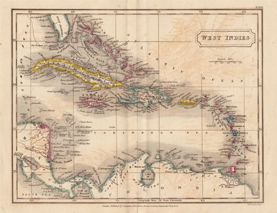
Central America & West Indies
World Maps and Charts
×