
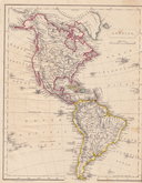
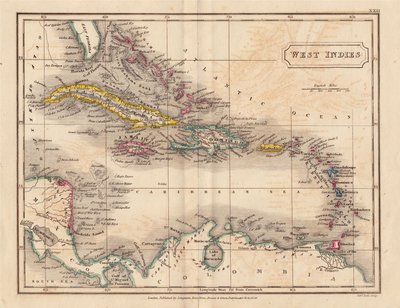
Central America & West Indies
North America
( Page 1 of 8 )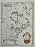
East America Rigobert Bonne 1798
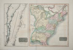
United States and St Lawrence River 1817
Saint Elias and Monserrate 1827
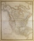
Canada 1831
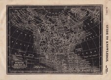
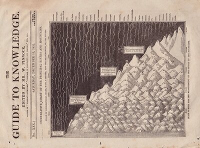
North America by Pinnock 1834
Johnston 1843
North America 1850
America by Becker 1850

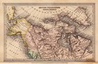
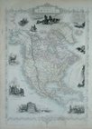
£30 Arctic Regions by Bartholomew
Ref: 1264G
Add to
basket
Thanks,Your Product Has Been Added To Basket

56x43 cm
ARCTIC REGIONS | AND | BRITISH AMERICA
Engraved by John Bartholomew for Black's General Atlas of the World published by Adam and Charles Black from 1844. (1854 edition) Showing Canada, West Coast of Greenland, The latest surveys on the North-West Passage, Alaska (Russian America).
Double page map with inset maps: CHART OF THE TERRITORIES | Discovered & Examined by the | SEARCHING EXPEDITIONS | under the Command of | CAP. AUSTIN & CAP. PENNY | 1851. and: BEECHEY ISLAND | SITE OF | Sir J. Franklin's winter Quarters | 1845-1846.
Original hand colour with off-setting from the wash line colouring.
Quick Links
World Maps and Charts

South America
×