
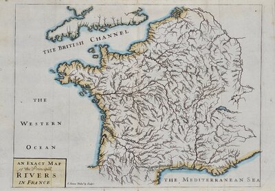
France
Holland
( Page 3 of 3 )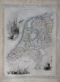
John Tallis 1851
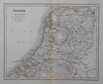
August Petermann 1860
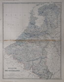
Keith Johnston 1879
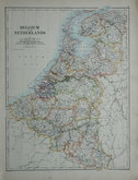
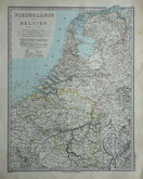
Belgium & Netherlands 1884
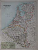
Netherlands & Belgium by Vogel 1885
John Bartholomew 1892
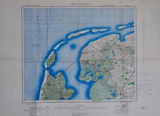
Leeuwarden 1942


25x35 cm
HOLLAND
Drawn and engraved on steel by John Rapkin with vignettes drawn by various artists and engraved by H. Warren and J. B. Allen. This series of finely engraved maps were first published in parts from the end of the 1840's and issued as a complete volume, The Illustrated Atlas in 1851. The work was re-issued a number of times until about 1865 and the maps were then used by Montgomery Martin, the author of the text in the Illustrated Atlas, in his British Colonies from 1854. The final appearance of the maps, with vignettes erased from the plate, were in geographical dictionaries and encyclopaedia until about 1880.
Vignettes of Rotterdam, Fishing boats on the Dort and Dutch peasants.
Slightly grubby around edges but still a good example without centrefold from The Illustrated Atlas of 1851 in original hand outline colour.
Quick Links

Whole of Europe
Germany
×