
English Counties
Folding Maps
( Page 4 of 17 )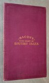
G W Bacon British Isles 1910
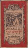
O.S. Bournemouth Swanage 1919
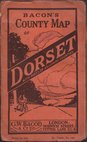
G W Bacon Dorset 1920
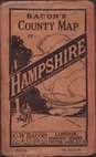
G W Bacon Hampshire 1920
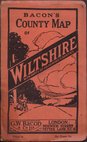
G W Bacon Wiltshire 1920
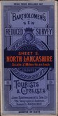
Bartholomew North Lancashire 1920
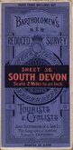
Bartholomew South Devon 1920
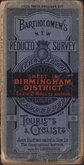
Bartholomew Birmingham District 1920


96x124 cm
LARGE LINEN BACKED FOLDING MAP IN CLOTH BOARDS
New COMMERCIAL & REFERENCE CHART OF THE BRITISH ISLES BY G.W.BACON, F.R.G.S. ... Showing RAILWAYS, STEAMSHIP ROUTES, PORTS, RIVERS, CANALS, MAIN ROADS, & RAINFALL. with details of The Navy, Army, Revenue, Expenditure, Customs, licences, taxes, Shipping, & Occupations.
G.W.BACON & CO., L.TD, ROYAL LONDON BUILDINGS, DEANSGATE, MANCHESTER.
Large lithograph colour printed folding map in two linen backed sheets attached to burgundy cloth covers. Each sheet in nine sections opening to 96x62cm. giving an overall map size of 96x124cm.
Map surrounded by charts and tables showing imports and exports, travel times and costs, etc., Inset maps; World map showing British Embassies, British Isles showing Industrial and Commercial Population, British Isles showing Agricultural Population, Shetland Isles, Jersey & Guernsey.
The map is undated but information given on various charts date to 1910.
The linen backing is very good quality and the map is in very good condition with little wear. The burgundy cloth covers show a little wear at spine edges and a few marks here and there but are generally in very good order.
Quick Links


Regional Maps of England & Wales

Ordnance Survey Maps
×