
Regional Maps of England & Wales
Folding Maps
( Page 17 of 17 )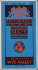
Bartholomew Wye Valley 1961
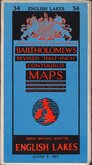
Bartholomew Lake District 1961
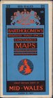
Bartholomew Mid-Wales 1962
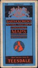
Bartholomew Teesdale 1962
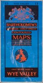
Bartholomew Wye Valley 1963
Bullock. Scotland 1970
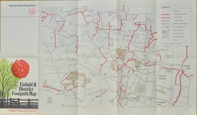
Enfield Footpath Map 1973
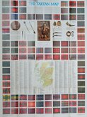
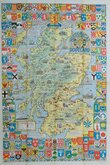
Bartholomew Tartan Map Scotland 1979


85x49 cm
Wye Valley No.13 in series of 62.
Bartholomew's revised half inch contoured maps.
Paper printed pasted on linen in paper covers.
Good condition. Handwritten owner's name and address bottom left corner of map.
Quick Links


English Counties

Ordnance Survey Maps
×