
Ordnance Survey Maps
Folding Maps
( Page 3 of 17 )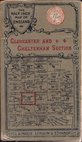
Gall & Inglis Gloucester 1900
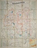
Bacon's Berks Bucks & Oxford 1900
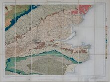
O.S. Geological. South East 1901
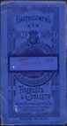
Bartholomew Cheshire 1904
O.S. Weymouth 1908
Bartholomew Wexford 1910
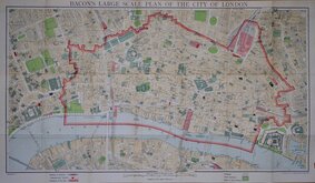
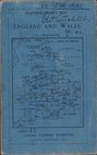
G W Bacon London. 1910
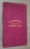
Richardsons British Isles 1910

£3 Ordnance Survey Brighton & Worthing
Ref: os677
Add to
basket
Thanks,Your Product Has Been Added To Basket

70x84 cm
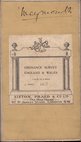
ORDNANCE SURVEY SEVENTH SERIES
ONE-INCH MAP of GREAT BRITAIN
BRIGHTON & WORTHING
SHEET 182
Made and published by the Director General of the ORDNANCE SURVEY, CHESSINGTON, SURREY, 1960.
Paper. Card Covers.
Chipping to covers. Map clean and undamaged.
Chipping to
Quick Links


English Counties

Regional Maps of England & Wales
×