
English Counties
Folding Maps
( Page 3 of 17 )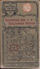
Gall & Inglis Gloucester 1900
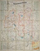
Bacon's Berks Bucks & Oxford 1900
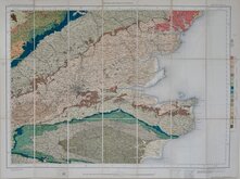
O.S. Geological. South East 1901
Bartholomew Cheshire 1904
O.S. Weymouth 1908
Bartholomew Wexford 1910
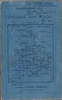
G W Bacon London. 1910
Richardsons British Isles 1910


84x57 cm
BARTHOLOMEW'S REVISED HALF-INCH MAP
FIRTH OF TAY
GREAT BRITAIN SHEET 49
THE EDINBURGH GEOGRAPHICAL INSTITUTE.
BY APPOINTMENT TO THE LATE KING GEORGE V.
Reduced by permission from the Ordnance Survey with local revision to date of publication. May 1950.
COPYRIGHT - JOHN BARTHOLOMEW & SON, LTD.
Cloth backed.
Condition: Very good.
Quick Links


Ordnance Survey Maps

Regional Maps of England & Wales
×