
English Counties
Folding Maps
( Page 9 of 17 )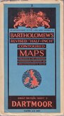
Bartholomew Dartmoor 1947
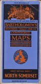
Bartholomew North Somerset 1947
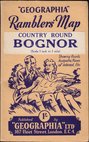
Geographia Bognor 1948
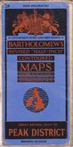
Bartholomew Peak District 1948
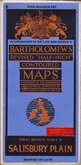
Bartholomew Salisbury Plain 1948
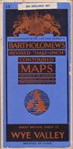
Bartholomew Wye Valley 1948
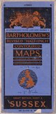
Bartholomew Sussex 1950
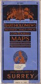
Bartholomew Surrey 1950


86x59 cm
BARTHOLOMEW'S REVISED HALF-INCH MAP
WHARFEDALE
GREAT BRITAIN. SHEET 32
PRINTED IN GREAT BRITAIN.
BY APPOINTMENT TO THE LATE KING GEORGE V.
Reduced by permission from the Ordnance Survey with local revision to date of Publication. 1960.
© — JOHN BARTHOLOMEW & SON. LTD. EDINBURGH. 9.
Cloth backed.
Condition: Good. Some wear at folds. A few marks in the margins.
Quick Links


Regional Maps of England & Wales

Ordnance Survey Maps
×