
English Counties
Folding Maps
( Page 3 of 17 )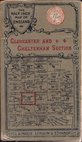
Gall & Inglis Gloucester 1900
Bacon's Berks Bucks & Oxford 1900
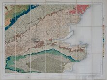
O.S. Geological. South East 1901
Bartholomew Cheshire 1904
O.S. Weymouth 1908
Bartholomew Wexford 1910
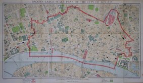
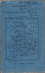
G W Bacon London. 1910
Richardsons British Isles 1910


73x60 cm
SCARCE FOLDING MAP
A NEW MAP of the COUNTY OF YORK, divided into its Ridings with their Subdivisions, Exhibiting the whole of the MAIL DIRECT and principal CROSS ROADS, Navigable Canals, Rivers, &c.&c. BY THOMAS DIX.
LONDON: William Darton, 58 Holborn Hill, January 10. 1820.
Large detailed map with large vignette of the South East view of York and lists of the Principal Hills, Market towns and their market days and the Wapentakes in each Riding.
Thomas Dix (c.1769-1813) worked as a surveyor in Norfolk and in 1805 published A treatise on the construction and copying of all kinds of maps.
This series of county maps were based on the county maps of Robert Rowe c.1812 and were first published in atlas form A Complete atlas of the English Counties… in 1822 by William Darton. One further atlas was issued by Darton in 1835 entitled The counties of England: with general maps of north and south Wales. The maps for this second atlas issue had amended titles. Individual maps were also issued as loose sheet folding maps. Lithographic transfers of the maps appeared in about 1860 with their final appearance in a Post Office map in 1877.
This map of Yorkshire is the first state of the plate in original hand colour and published as a loose sheet map segmented and pasted on linen with watered paper covers.
No slipcase. Some splitting of the linen at the folds, a pinhole in each corner and centre of side borders, fingermarking and stains at the bottom of the page but it remains a very attractive, detailed and scarce map from the first issue of 1820 in full original hand colour.
Quick Links


Ordnance Survey Maps

Regional Maps of England & Wales
×