
Ordnance Survey Maps
Folding Maps
( Page 7 of 17 )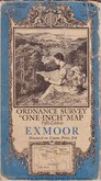
O.S. Exmoor 1934

O.S. Plymouth 1934
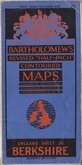
Bartholomew Berkshire 1934
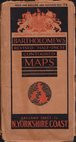
Bartholomew North Yorkshire Coast 1935
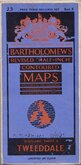
Bartholomew Tweeddale 1937
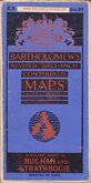
Bartholomew Buchan and Strathbogie 1937
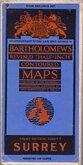
Bartholomew Surrey 1937
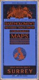
Bartholomew Surrey 1937


78x104 cm
NORTH WALES.
NO. 7 OF GEOGRAPHIA 2 MILES TO 1 INCH ROAD MAP OF ENGLAND AND WALES IN 19 SHEETS
Colour printed paper map in card covers. Clean but fragile at folds with several splits.Scale 1 inch = 2 miles.
Quick Links


Regional Maps of England & Wales

English Counties
×