
Regional Maps of England & Wales
Folding Maps
( Page 7 of 17 )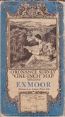
O.S. Exmoor 1934

O.S. Plymouth 1934
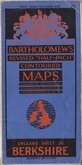
Bartholomew Berkshire 1934
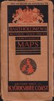
Bartholomew North Yorkshire Coast 1935
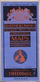
Bartholomew Tweeddale 1937
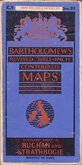
Bartholomew Buchan and Strathbogie 1937
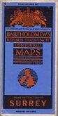
Bartholomew Surrey 1937
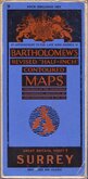
Bartholomew Surrey 1937


60x48 cm
BACON'S MAP OF Hampshire
Scale 1 Inch = 3 Miles. Map divided into 5 mile Squares.
Paper map printed in 3 colours in card covers. Published by G.W.Bacon & Co., Ltd., Norwich Street Fetter Lane, E.C.4
Cover grubby and fraying at edges and spine. Map reasonably clean.
Quick Links


English Counties

Ordnance Survey Maps
×